3D Height from a satellite imagery

In the hours after a major disaster, these maps could save lives

04 APR 2024

3 MIN READ

image

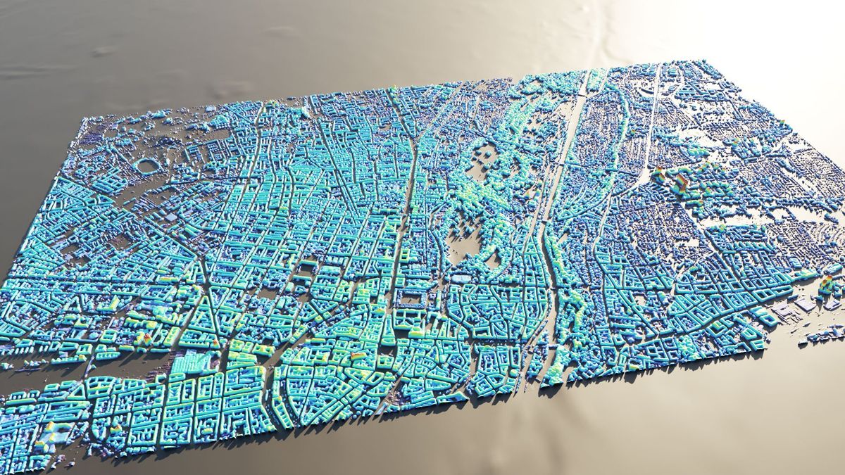
3D maps created from synthetic aperture radar images could assist relief efforts soon after major disasters.

UNIVERSITY OF THE BUNDESWEHR MUNICH

A new machine learning system can create height maps of urban environments from a single synthetic aperture radar (SAR) image, potentially accelerating disaster planning and response.When an earthquake devastates a city, information can be in short supply. With basic services disrupted, it can be difficult to assess how much damage occurred or where the need for humanitarian aid is greatest.Aerial surveys using lidar systems provide the gold standard for 3D mapping, but such laser-ranging systems are expensive to buy and operate, even without the added logistical difficulties of a major disaster.Synthetic aperture radar, on the other hand, works day or night, whatever the weather. SAR is an active sensor that uses the reflections of signals beamed from a satellite toward Earth’s surface—the “synthetic aperture” part comes from the radar using the satellite’s own motion to mimic a larger antenna, to capture reflected signals with relatively long wavelengths. There are dozens of governmental and commercial SAR satellites orbiting the planet, and many can be tasked to image new locations in a matter of hours.“Height is a supercomplex topic in itself,” says Michael Schmitt, a professor at the University of the Bundeswehr Munich. “There are a million definitions of what height is, and turning a satellite image into a meaningful height in a meaningful world geometry is a very complicated endeavor.”The researchers then obtained high-quality height maps for the same cities, mostly generated by lidar surveys but some by planes or drones carrying stereo cameras. The next step was to make a one-to-one, pixel-to-pixel mapping between the height maps and the SAR images on which they could train a deep neural network.That means the system should be able to spot almost every building across a city that has suffered significant damage.“There are a million definitions of what height is, and turning a satellite image into a meaningful height...is a very complicated endeavor.”—MICHAEL SCHMITT, UNIVERSITY OF THE BUNDESWEHR MUNICHEven in richer countries, “we’re really dependent on the slow revisit cycles of governments flying lidar missions and making the data publicly available,” says Carl Pucci, founder of EO59, a Virginia Beach–based company specializing in SAR software. “It just sucks. Being able to produce 3D from SAR alone would really be a revolution.”In the chaos following a major earthquake, even a best guess could be better than nothing.